
GFL student participants take photos of their local forests, and record data about them using the Student Photo Form. Then, they submit their photos and forms to our website by clicking on the links below. GFL will later use this for a visual analysis database scientists can use.
To collect images, you must first go into a forest region of your choice and take some photographs.
As you take the photographs, fill out this PAPER FORM with the requested information and then transfer the photos and the data to an online form. Alternatively, you can fill out the online form directly on your cell phone.
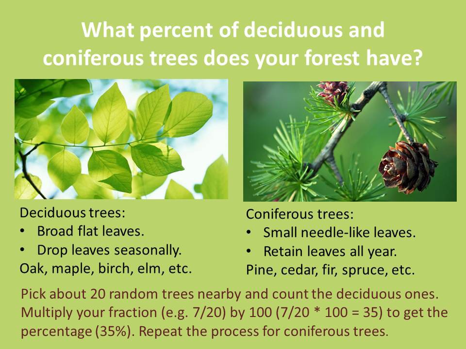
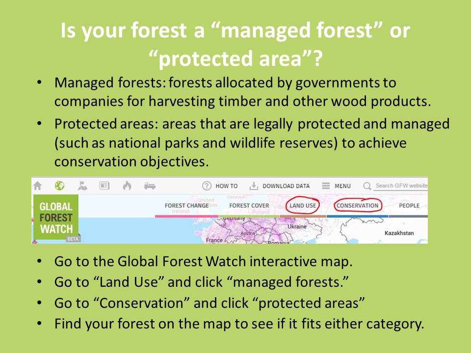
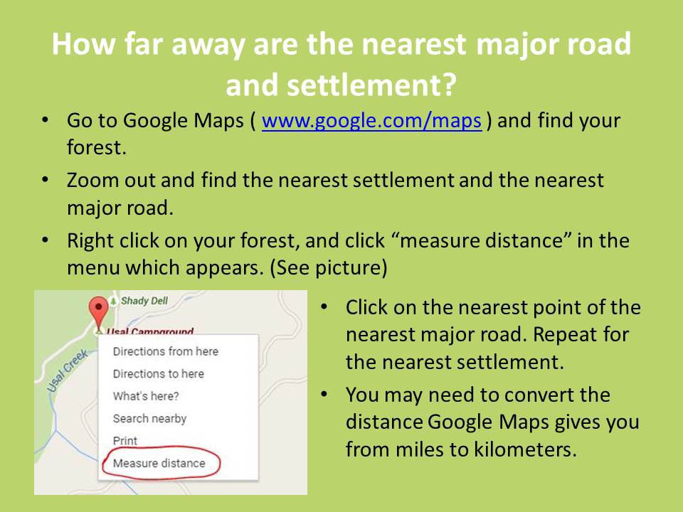
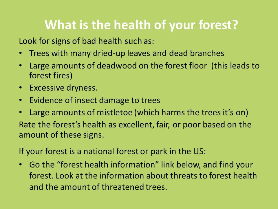
See the slide show below for help with some of the items on the form.
Useful Links
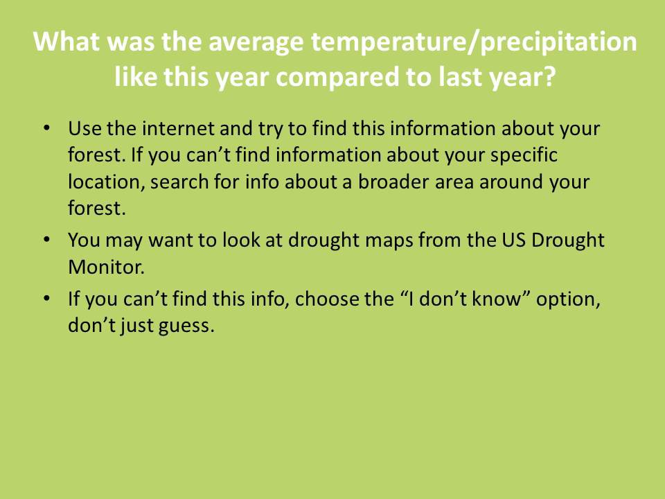
Determining forest health: – See forest health information for any forest in the US.
Know your latitude and longitude coordinates? Follow these steps to get a Google Maps link from them.
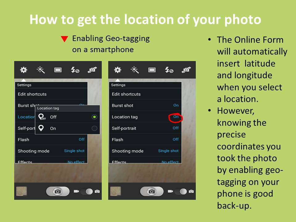
Need help enabling geo-tagging on your smartphone? Follow these steps to turn on geo-tagging.